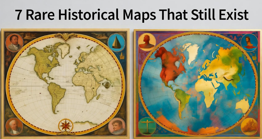
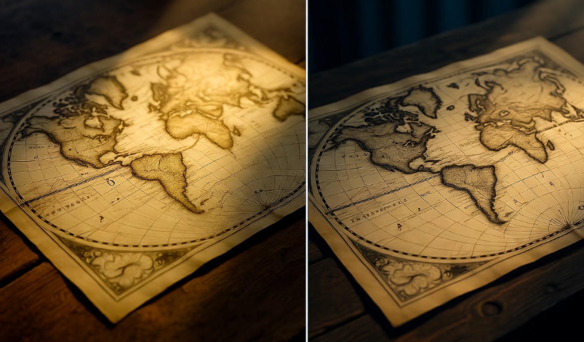
Maps are like time machines. They don’t just show geography—they tell stories about the world as people saw it centuries ago. Some maps are so rare and unique that they feel like hidden treasures. Let’s explore seven of the rarest historical maps that still exist today.
1. The Piri Reis Map (1513)
This map is a mystery wrapped in a masterpiece. Created by Ottoman admiral and cartographer Piri Reis, it shows the coastlines of South America and Africa with remarkable accuracy for its time. What makes it truly fascinating is the claim that parts of it depict Antarctica, long before it was officially discovered.
Fun Fact: Scholars still debate how Piri Reis had such detailed information. Some believe he used ancient maps from unknown civilizations.
| Map | Year | Notable Feature | Location Today |
|---|---|---|---|
| Piri Reis | 1513 | Possible depiction of Antarctica | Topkapi Palace, Istanbul |
2. The Hereford Mappa Mundi (c. 1300)
This medieval map isn’t meant for navigation—it’s a visual storybook of the world. The Hereford Mappa Mundi shows Europe, Asia, and Africa in the Middle Ages, mixed with biblical stories, mythical creatures, and ancient history.
Unlike modern maps, north isn’t at the top. Instead, east is at the top, symbolizing the Garden of Eden. It’s a mix of geography and imagination that shows how medieval people understood the world.
3. The Cantino Planisphere (1502)
The Cantino Planisphere is one of the earliest maps showing Portuguese explorations in the New World. It includes the coasts of Brazil, West Africa, and India. This map is unique because it was smuggled out of Portugal and ended up in Italy, helping other European powers learn about newly discovered lands.
Interesting Detail: It’s beautifully hand-colored and is one of the earliest surviving maps to include longitude and latitude lines.
4. The Vinland Map (c. 1440)
The Vinland Map is controversial. It allegedly shows parts of North America, called Vinland, before Columbus ever sailed west. The map hints that Norse explorers may have reached North America centuries earlier.
While some scholars argue it’s a forgery, carbon dating and ink analysis have kept the debate alive. If genuine, it’s a groundbreaking piece of history.
| Map | Year | Controversy | Current Location |
|---|---|---|---|
| Vinland Map | c.1440 | Authenticity debated | Yale University Library |
5. The Tabula Rogeriana (1154)
Created by the Arab geographer Muhammad al-Idrisi for King Roger II of Sicily, this map is a marvel of medieval cartography. It details Europe, North Africa, and parts of Asia with incredible precision for the 12th century.
Why it’s unique: Al-Idrisi combined scientific knowledge with traveler accounts, creating one of the most detailed maps of its era. Unlike modern maps, south is at the top.
6. The Ebstorf Map (c. 1234)
The Ebstorf Map was an enormous medieval map over 3 meters wide, depicting the world as a Christian universe. Sadly, it was destroyed during World War II, but reproductions and photographs remain.
It was circular, with Jerusalem at the center, showing Europe, Africa, and Asia in detail, surrounded by biblical events, angels, and mythical creatures. It’s a reminder of how people once saw the world not just geographically, but spiritually and morally.
7. The Gough Map (c. 1360)
One of the earliest surviving maps of Great Britain, the Gough Map is surprisingly accurate for its time. It shows roads, towns, and rivers, offering insights into medieval travel and settlements.
Fun Twist: Researchers have used it to track historical climate and landscape changes. Its accuracy is impressive considering it was made without modern surveying tools.
| Map | Year | Region | Unique Feature |
|---|---|---|---|
| Gough Map | c.1360 | Great Britain | Detailed medieval roads & towns |
Why These Maps Matter
These maps are more than just paper—they’re windows into the past. They show us how humans explored, imagined, and interpreted the world. Some were tools for navigation, some for storytelling, and others were political statements. Collectively, they reveal centuries of human curiosity and creativity.
-
Don’t miss this: Countries That No Longer Exist in 2025
Tips for Viewing Historical Maps
-
Many museums and libraries display these maps. If you can, see them in person—digital images don’t capture the fine details.
-
Take your time reading them; older maps often mix fact and myth.
-
Note the orientation and symbols—they tell you a lot about the worldview of the mapmaker.
FAQs
Q1: Why are some historical maps inaccurate?
A: Early cartographers didn’t have satellites or GPS. They relied on travelers’ accounts, which were often incomplete or exaggerated. Plus, maps sometimes mixed mythology with reality.
Q2: Can these maps be bought?
A: Most rare maps are priceless and kept in museums or libraries. Occasionally, fragments or reproductions are available for collectors.
Q3: How are these maps preserved?
A: Preservation involves controlling temperature, humidity, and light. Special archives and protective glass help ensure the maps survive centuries.
Q4: Which map is the most mysterious?
A: The Piri Reis Map and Vinland Map are probably the most mysterious, because they may show lands before officially discovered.
Q5: Are there digital versions?
A: Yes! Many libraries and museums provide high-resolution scans for study and research. For example, the British Library and Yale University Library have online archives.
Conclusion
Rare historical maps are more than just pieces of paper—they’re stories frozen in time. Each map is a mix of adventure, knowledge, and imagination. They remind us that the world we know today was once a canvas for explorers’ dreams, travelers’ tales, and artists’ visions. So next time you see an old map, take a moment. You’re not just looking at land and sea—you’re glimpsing history itself. ️