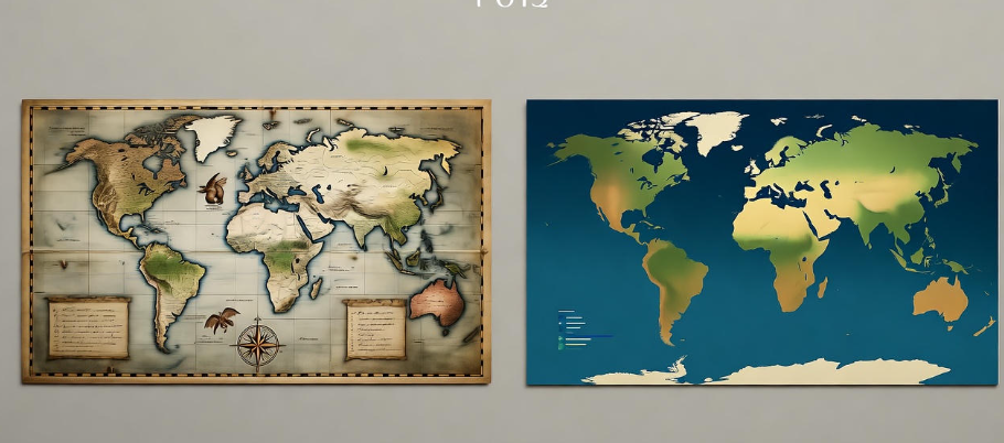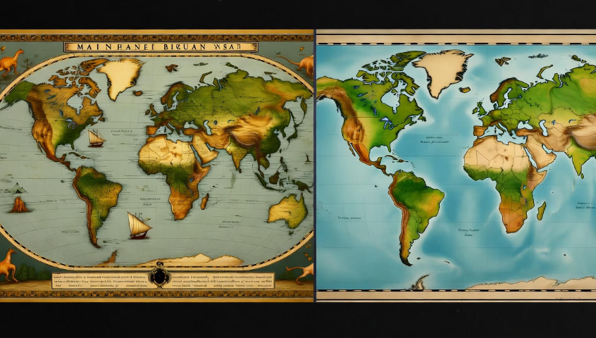
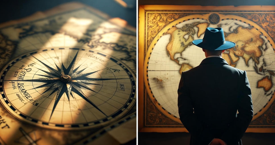
Have you ever looked at an old map and wondered what stories it might be hiding? Those faded papers, curled at the edges, aren’t just about directions or borders. They hold secrets — real mysteries of forgotten lands, strange creatures, and even lost civilizations. Many of these old maps were drawn by explorers, sailors, and kings’ cartographers who didn’t just copy what they saw. They added legends, warnings, and sometimes, pure imagination.
You see, maps weren’t always accurate back then. There was no GPS, no satellites, no aerial photography. Everything came from someone’s eyes, memory, or stories told by sailors who might have been half-drunk or terrified of sea monsters. And that’s exactly why old maps are so fascinating — they show not only the world as it was known but also the world as people believed it was.
So, let’s dive deep into some of the amazing hidden secrets found on old maps — from mysterious islands to forgotten empires. Some might surprise you, some might make you smile, and others might give you chills.
The Strange Island That Never Existed – Hy-Brasil ️
Imagine an island that appears and disappears like magic. For centuries, old maps showed an island west of Ireland called Hy-Brasil. Sailors believed it was a land of eternal happiness, wealth, and advanced beings. Some even claimed to have seen glowing lights there.
But here’s the twist — the island never actually existed. Modern research and satellite images show nothing but ocean in that spot. Yet, Hy-Brasil kept appearing on maps for nearly 500 years, from the 14th to 19th century.
Why? Many think it was a case of mistaken identity — maybe fog, mirages, or a sailor’s dream mistaken for land. Others believe it might have been inspired by real lands like Iceland or even Atlantis.
| Map Name | Year | Mention of Hy-Brasil |
|---|---|---|
| Catalan Atlas | 1375 | Yes |
| Portolan Charts | 1500s | Yes |
| Admiralty Charts | 1860s | No (finally removed) |
Even today, Hy-Brasil remains a legend among map lovers and mystery seekers.
Sea Monsters in the Margins
If you’ve ever seen an ancient map, you might notice creatures drawn in the corners — dragons, serpents, and giant fish attacking ships. These weren’t just decorations. They were warnings.
Cartographers used to draw “Here Be Dragons” on parts of maps where no one had explored yet. It was their way of saying, “We have no idea what’s out here… maybe monsters.”
Some of these drawings came from real sightings. Sailors mistook whales, giant squids, or schools of fish for terrifying beasts. But the more interesting part is that these sea monsters actually tell us about the fear and imagination of people back then.
One famous example is the Carta Marina (1539) by Olaus Magnus. It’s full of fantastic creatures — sea serpents, giant lobsters, and strange horned whales. Today, scientists think some of these might have been based on real animals, just exaggerated through rumor.
It’s funny to think how old maps weren’t just about land — they were part adventure story, part horror tale.
The Lost Continent of Lemuria
Before the word “Atlantis” became famous, there was another mysterious land — Lemuria. It was believed to be a lost continent somewhere in the Indian or Pacific Ocean. In the 1800s, many maps actually showed it.
Why did people think it existed? Well, scientists found fossils of the same animals (like lemurs) in both India and Madagascar, but not in Africa. So, they guessed there must have been a land bridge connecting the two — and they named it Lemuria.
Later, it turned out plate tectonics explained everything (the continents moved). Lemuria was just a scientific misunderstanding. But still, old maps kept showing it for decades.
And believe it or not, some modern myths still connect Lemuria with lost civilizations or even aliens. Crazy, right?
The Phantom Islands that Fooled Everyone ️
Throughout history, explorers reported islands that no one could ever find again. These “phantom islands” appeared on maps for centuries before finally vanishing — not because they sank, but because they never existed.
Some famous examples:
| Island Name | Reported Location | Mystery |
|---|---|---|
| Sandy Island | Near Australia | Shown on Google Maps until 2012, then removed after no land was found |
| St. Brendan’s Isle | North Atlantic | Possibly mist, illusion, or myth |
| Frisland | Between Iceland & Greenland | Common on maps for 300 years, totally fictional |
These islands often came from sailors’ errors — a shadow of a cloud on the water, or perhaps floating ice mistaken for land. But what’s more interesting is that they stayed on maps long after being proven false.
It shows how difficult it was to correct mistakes when information traveled slowly. Once a name was on a map, it could survive for generations.
Hidden Messages from Mapmakers ✍️
Some mapmakers were rebels. They secretly hid drawings, words, or even faces in their maps — like Easter eggs.
For example, a 16th-century French mapmaker named Oronce Finé drew a heart-shaped map of the world (1531). But look closer — he hid symbols of his faith and personal beliefs in the patterns.
Others used fake towns or small fake streets (called “trap streets”) to catch plagiarists. This practice continued well into the 20th century!
In modern times, the makers of digital maps still do this — Google Maps, for instance, includes fake street names or buildings that don’t exist. It’s all about protecting their intellectual property.
So, next time you look at a map, remember: not everything you see is real.
Ancient Civilizations Marked Before Discovery ️
Some old maps show lands or cities that weren’t officially discovered until much later — which raises eyebrows.
Take the Piri Reis Map (1513), drawn by a Turkish admiral. It shows parts of South America, the west coast of Africa, and even what seems to be Antarctica — without ice.
That’s wild because Antarctica wasn’t officially discovered until 1820. So how did he know?
Historians believe Piri Reis used older maps from lost sources, maybe even from ancient explorers. Others think it’s just a coincidence or artistic interpretation.
Still, this map continues to puzzle researchers. It’s one of the most mysterious documents in cartographic history.
The Map That Proved the Earth Isn’t Flat
Believe it or not, even before modern science, some maps hinted that Earth was round. Ancient Greeks, like Eratosthenes, already measured the Earth’s circumference with impressive accuracy — and old maps reflected that knowledge subtly.
For example, a 12th-century world map called the Hereford Mappa Mundi shows the world in a circular shape, but not flat — more like a symbolic sphere.
Later maps by Islamic scholars, such as Al-Idrisi’s Tabula Rogeriana (1154), displayed Earth as a curved surface. These maps were centuries ahead of their time.
It’s ironic — while many people in medieval Europe thought the Earth was flat, some mapmakers quietly knew better.
Cities That Disappeared Without a Trace ️
Old maps sometimes show cities that simply don’t exist anymore — either swallowed by time, war, or nature.
For example, ancient maps of the Middle East often mention Zerzura, a lost city in the Sahara Desert. Explorers searched for it for hundreds of years, drawn by stories of hidden treasures and white palaces buried under the sand.
Another case is Vineta, often called the “Atlantis of the Baltic Sea.” Old European maps marked it near the German coast. According to legend, it was a rich city that sank beneath the waves as punishment for greed.
No one has ever found clear evidence of these cities, but archaeologists still search. Old maps often serve as clues in real explorations today.
Unusual Map Shapes and Designs
Many old maps don’t look like what we expect. Instead of north being “up,” it was often east. In fact, that’s where the word “orientation” comes from — to “orient” meant to face the East (toward the sunrise).
Some maps were shaped like hearts, circles, or even creatures. One map from the 1600s shows Europe drawn as a queen, wearing a crown made of Spain.
These designs weren’t just artistic; they showed how people saw the world spiritually and politically. The “center” of the world was always where the mapmaker lived — whether it was Jerusalem, Mecca, or Rome.
Maps, in a sense, were mirrors of belief.
Why Old Maps Still Matter Today
It’s easy to think old maps are just antiques. But in truth, they still shape our understanding of history, trade, and culture. Historians use them to track how coastlines changed, how people migrated, and even how ideas spread.
Also, old maps teach us something deeper: how imagination can shape reality. Before explorers ever saw new lands, maps gave them courage (and sometimes false hope).
They’re like early versions of Google Earth — except drawn by hand, filled with mystery and dreams.
Fun Facts About Old Maps
| Fun Fact | Explanation |
|---|---|
| “Map” comes from Latin mappa, meaning “cloth.” | Early maps were often drawn on cloth or animal skin. |
| Maps were status symbols. | Owning a big map in your house showed you were educated and worldly. |
| Old maps were sometimes upside down. | Some showed south at the top instead of north! |
| Cartographers were part artist, part storyteller. | They mixed geography with art, myth, and politics. |
| Some maps were copied entirely from memory. | Especially when original explorers lost their notes or journals. |
FAQs About Old Maps
Q1: Why do old maps have so many mistakes?
Because explorers often guessed distances or relied on second-hand stories. Without modern tools like compasses or GPS, errors were common — and once a mistake was printed, it spread fast.
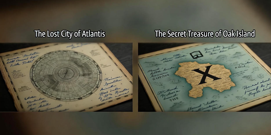
Q2: Are there hidden treasures marked on old maps?
Some maps do show “X marks the spot” symbols or shipwrecks, but most treasure maps are myths. However, archaeologists sometimes use ancient maps to find real lost cities or routes.
Q3: What’s the oldest map ever found?
The oldest known map is from Babylon, about 2,500 years old, carved on a clay tablet. It shows the world as a flat disc surrounded by water.
Q4: Do old maps have secret codes or languages?
Some do! Mapmakers used symbols, Latin phrases, or fake details to protect their work or send hidden messages.
Q5: How can I find or buy old maps?
You can find replicas in museums, antique shops, or online archives like the British Library’s map collection. Real old maps can cost thousands of dollars depending on rarity and condition.
Conclusion
Old maps are more than drawings — they’re windows into the human mind. They show how our ancestors dreamed, feared, and imagined the unknown. From phantom islands to mysterious creatures, from hidden messages to lost cities, every map tells a story.
What’s truly amazing is that these centuries-old papers still spark curiosity today. They remind us that knowledge is never fixed — it’s always changing, like the world itself.
So next time you see an old map in a museum or online, take a closer look. Who knows? You might just uncover a secret that’s been waiting there for hundreds of years. ✨