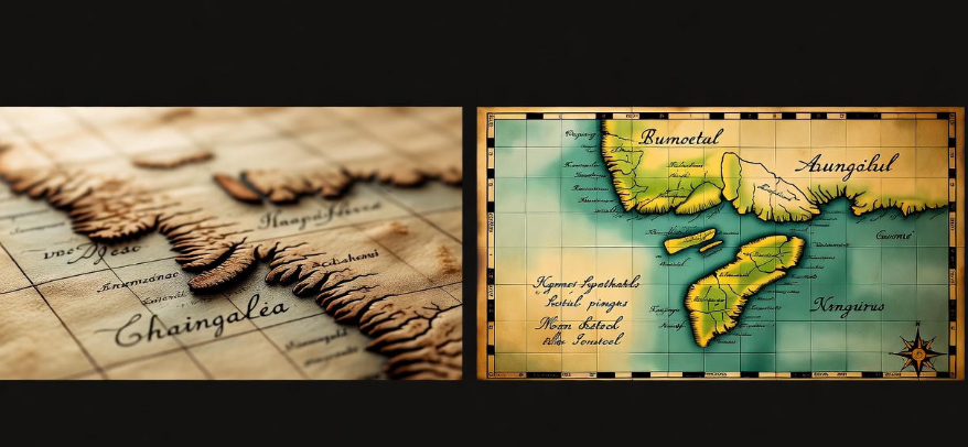
Maps have been guiding humans for thousands of years. Before GPS and satellites, people relied on maps drawn by explorers, travelers, and cartographers. Yet, if you look at an old map today, you might notice something strange: coastlines bend in odd ways, continents are misshaped, and some lands appear entirely imaginary. Despite these inaccuracies, old maps carry a unique beauty that modern maps can’t replicate. Let’s explore why.
The Science Behind Map Inaccuracy
Long before precise instruments existed, mapmakers had to rely on guesswork. Explorers would record distances by counting steps, measuring time, or observing the stars. Sometimes, rivers were mapped incorrectly because of changing courses or lack of access. Mountains and deserts were often exaggerated to show danger or impress the viewer.
For example, in the 16th century, many European maps included a huge southern continent called “Terra Australis Incognita” — a land no one had actually seen. Yet, cartographers drew it with rivers, mountains, and cities, based purely on imagination.
Why They Are Beautiful
There’s something captivating about these old maps. Unlike today’s sterile, precise maps, old maps are full of artistry and storytelling. They often include:
-
Illustrations of animals – Sea monsters in the oceans or exotic animals on unexplored lands.
-
Decorative borders – Elaborate frames with floral or mythical motifs.
-
Handwritten calligraphy – Names of places written in flowing, artistic scripts.
-
Coloring techniques – Natural dyes and pigments give maps a warm, aged look.
This combination of science and art makes old maps feel like both a historical document and a piece of art.
Challenges Faced by Early Mapmakers
-
Limited tools: Early explorers used compasses, astrolabes, and rudimentary sextants. These tools could only give approximate positions.
-
Incomplete information: Some regions were never visited. Others were described by traders, who often exaggerated or misunderstood.
-
Political influences: Kings and rulers sometimes demanded maps that glorified their territories. Cartographers had to draw what would please patrons.
-
Navigational errors: Calculating longitude accurately was almost impossible until the 18th century. This made east-west positions highly unreliable.
Comparison of Old Maps vs Modern Maps
| Feature | Old Maps | Modern Maps |
|---|---|---|
| Accuracy | Often incorrect, exaggerated, or imaginary | Extremely precise using satellites and GPS |
| Aesthetics | Decorative, artistic, colorful | Functional, minimal, practical |
| Purpose | Guide, art, storytelling, politics | Navigation, urban planning, education |
| Information | Limited, based on exploration | Comprehensive, includes roads, rivers, terrain |
| Cultural Reflection | Shows beliefs, myths, politics | Neutral, focused on reality |
This table shows why old maps are less about exact geography and more about human perception and creativity.
The Role of Imagination
Explorers didn’t just make maps; they created visions of the world. A map could show unknown continents, treasure locations, or strange creatures. For example, the “Here Be Dragons” note was often placed in unknown areas to indicate danger or mystery. This blend of imagination and reality gives old maps their charm.
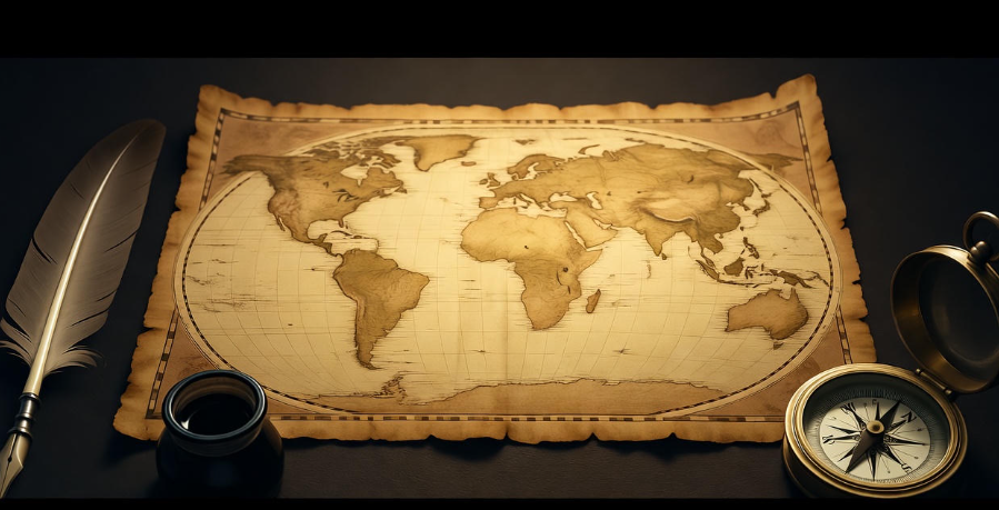
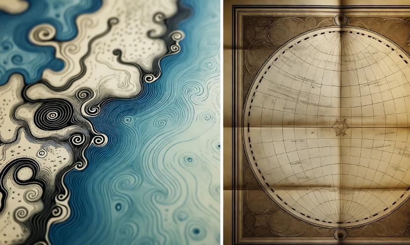
Materials That Add Character
Old maps were often drawn on parchment, vellum, or handmade paper. The natural wear over time—faded ink, stains, creases—adds a vintage look that modern prints can’t replicate. Colors were made from minerals and plants, producing earthy tones that feel alive, even centuries later.
Why People Still Collect Them
Today, old maps are prized by collectors and historians alike. Some collect for the history, others for the artistic beauty, and many just love the mystery they evoke. Hanging an antique map on the wall is like displaying a window into the past — showing not just geography, but culture, ambition, and curiosity.
-
️ More geography magic here: 7 Stunning Waterfalls You Must See Once
Psychological Appeal
Old maps appeal to our sense of adventure. They invite us to imagine journeys we might never take. They remind us that the world was once a place of mystery, where every corner could hide a secret. That nostalgic feeling, combined with the artistry, explains why even inaccurate maps can feel enchanting.
How Old Maps Influence Modern Culture
Even today, movies, video games, and books use old maps for inspiration. Think of treasure maps in adventure stories, or fantasy worlds in novels and games. The blend of error and imagination in old maps encourages creativity in ways precise modern maps cannot.
Preserving Old Maps
Museums and collectors work hard to preserve old maps. Exposure to light, humidity, and handling can damage them. Modern preservation techniques involve:
-
Using acid-free storage paper
-
Controlling temperature and humidity
-
Digitizing maps for study without damage
These steps ensure that future generations can enjoy the beauty of historical cartography.
A Small Table of Famous Old Maps
| Map | Year | Notable Feature |
|---|---|---|
| Ptolemy’s World Map | 150 AD | Early depiction of continents with limited accuracy |
| Waldseemüller Map | 1507 | First map to use the name “America” |
| Carta Marina | 1539 | Detailed Scandinavian map with sea monsters |
| Mercator Map | 1569 | Introduced projection still used today |
| Blaeu Atlas | 1635 | Highly decorative, includes illustrations |
These maps show that even with inaccuracies, humans have always sought to understand and depict their world.
FAQs
Q: Were old maps completely wrong?
A: Not completely. Coastal lines, major rivers, and mountains were often roughly correct, but proportions, distances, and uncharted areas could be wildly inaccurate.
Q: Why did mapmakers add mythical creatures?
A: They symbolized danger, unknown regions, or simply added artistic flair. They also reflected cultural myths and beliefs of the time.
Q: Can old maps be trusted for historical research?
A: Yes, with caution. They provide insight into geography, politics, culture, and perceptions of the world, but not exact coordinates.
Q: Why do old maps look so visually appealing?
A: The combination of hand-drawn artistry, natural dyes, decorative borders, and storytelling elements creates a timeless aesthetic.
Conclusion
Old maps are a fascinating mix of error and beauty. They reflect human curiosity, artistic expression, and the limits of knowledge at the time. Even though they are not geographically precise, they are historically and artistically invaluable. Their charm lies in the imperfections — in the bold guesses, the imaginary lands, and the hand-painted illustrations. They remind us that exploring the world isn’t just about accuracy; it’s about wonder, imagination, and storytelling. ✨