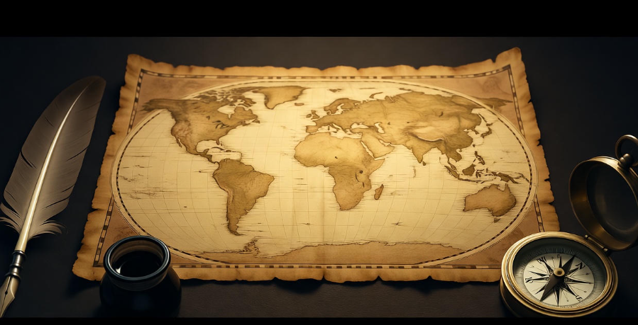
Reading a world map might seem simple at first glance. You see countries, oceans, and maybe a few lines, and you think, “I get it.” But understanding a map in depth is more than just knowing where places are. Maps are like windows to the world—they can tell stories about geography, culture, climate, and even politics. If you want to truly understand any world map, here’s a step-by-step guide that’s easy to follow.
Start with the basics: Latitude and Longitude
Every map has a grid made of lines. The horizontal lines are called latitude, and they run parallel to the Equator. The vertical lines are longitude, running from the North Pole to the South Pole.
-
Latitude: Shows how far north or south a location is from the Equator.
-
Longitude: Shows how far east or west a location is from the Prime Meridian.
Think of it like a giant game of battleships. Every point on Earth has a unique “address” based on these lines.
| Term | Description | Example |
|---|---|---|
| Latitude | Horizontal lines | 0° at the Equator |
| Longitude | Vertical lines | 0° at the Prime Meridian |
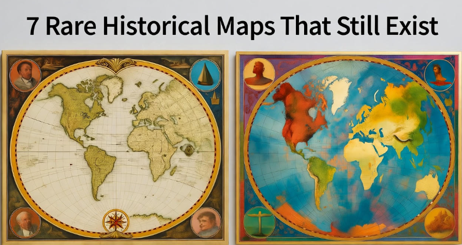
Understand the map’s projection
Maps are flat, but the Earth is round. To flatten it, mapmakers use different projections, which can slightly change the way countries and continents look.
-
Mercator projection: Common, but makes countries near the poles look bigger.
-
Robinson projection: More balanced and visually appealing.
-
Goode’s homolosine: Cuts oceans to show land more accurately.
Knowing the projection helps you understand why Greenland looks huge or why Africa seems small on some maps.
Learn the symbols and colors
Maps are like secret codes. Colors, lines, and symbols represent different things:
-
Blue: Water bodies like oceans, rivers, and lakes.
-
Green: Lowlands or forests.
-
Brown: Mountains or highlands.
-
Red or black lines: Borders, roads, or railways.
Some maps even use special symbols for airports, cities, or tourist spots. Always check the legend or key—it’s your cheat sheet. ️
Look at scale carefully
Maps shrink the real world. The scale tells you how distance on the map compares to the actual distance on Earth.
-
Example: 1 cm on the map = 100 km in real life.
-
Large-scale maps show smaller areas in more detail (like a city).
-
Small-scale maps show larger areas with less detail (like a world map).
Without understanding the scale, you might think two countries are closer than they really are.
Notice the physical features
Topography matters. Mountains, rivers, deserts, and plateaus influence everything from weather to population.
-
Mountains: Look for brown shading or contour lines.
-
Rivers: Usually shown in blue and can indicate fertile lands.
-
Deserts: Often yellow or light brown, signaling dry regions.
Recognizing these features gives context. For example, why is Egypt’s population mostly along the Nile? Because the desert surrounds it.
Observe political boundaries
Political maps show countries, states, and cities. Borders tell a story of history, wars, treaties, and negotiations.
-
Check if the map is current, as borders can change.
-
Notice disputed territories. They’re often marked differently.
-
Capitals are usually marked with a star or bold symbol.
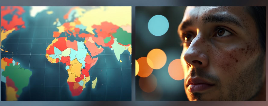
Understand thematic maps
Some maps focus on one theme: climate, population, language, or economy. They are called thematic maps.
-
Population maps: Show density using colors or dots.
-
Climate maps: Highlight temperature zones.
-
Economic maps: Show resources like oil, agriculture, or industry.
Thematic maps help you understand trends, not just geography.
Practice reading directions
Maps usually have a compass rose showing North, South, East, and West.
-
North is almost always at the top.
-
Learning directions helps when comparing locations.
-
Combine this with longitude and latitude for exact positions.
Pay attention to map distortions
Every flat map distorts the round Earth. Things near the poles appear bigger, and distances might not be exact. Understanding distortions prevents misconceptions.
Combine maps with real-life knowledge
A map becomes more meaningful when you connect it to real-life facts:
-
Africa has the Sahara, the largest hot desert.
-
The Himalayas include Mount Everest, the highest peak.
-
The Amazon river supports the largest rainforest.
Adding stories to locations makes them easier to remember.
Use technology to your advantage
Apps like Google Maps or Earth let you explore interactively. You can zoom in, rotate, and even see street views. Technology complements traditional maps, making learning easier.
Tips for remembering map details
-
Use mnemonics: “Never Eat Shredded Wheat” = North, East, South, West.
-
Color-code maps in notebooks for easy recall.
-
Quiz yourself by pointing to a country and naming its capital.
Common mistakes to avoid
-
Ignoring the map’s legend.
-
Forgetting about scale and thinking distances are literal.
-
Relying solely on one type of map; combine physical, political, and thematic maps.
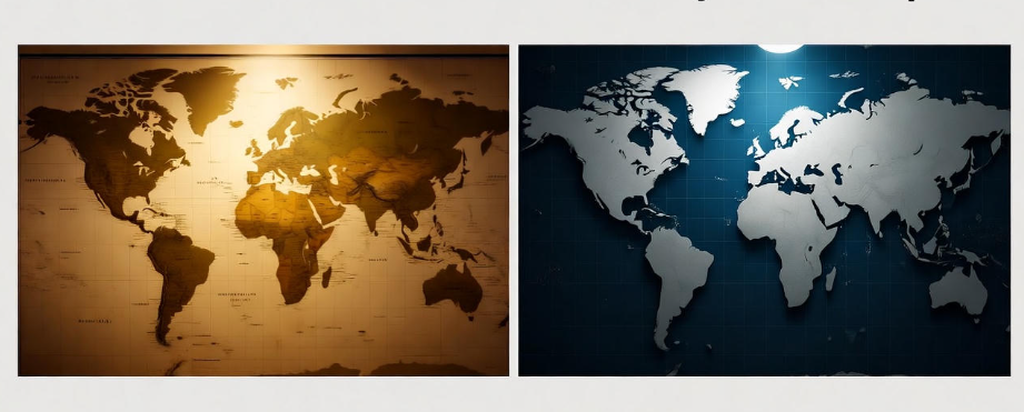
How to Read and Understand Any World Map
FAQs About Reading World Maps
Q1: What is the easiest way to locate a country on a world map?
A: Start by finding the continent, then use latitude and longitude to narrow it down. Checking borders and nearby countries helps too.
Q2: Why do some countries look bigger on certain maps?
A: That’s because of the map projection. Some projections distort size to make the flat map easier to draw.
Q3: How can I understand climate zones from a map?
A: Look for thematic maps that use color codes. For example, yellow for deserts, green for forests, and blue for water zones.
Q4: Are all maps accurate?
A: No. Every map has some distortion because a flat map can’t perfectly represent a round Earth. Understanding projection types helps interpret them correctly.
Q5: Can reading maps improve my general knowledge?
A: Absolutely! Maps teach geography, history, culture, climate, and even economics. The more maps you read, the more context you gain about the world.
Conclusion
Reading a world map is like learning a new language. At first, the lines, colors, and symbols may seem confusing. But once you understand latitude, longitude, projections, symbols, and scale, the map comes alive. Start small, explore thematic maps, and slowly build your knowledge. Soon, you’ll not only locate places but understand the story behind every line and color.
Maps aren’t just tools—they’re gateways to understanding our planet. So grab a world map, take your time, and enjoy the adventure.