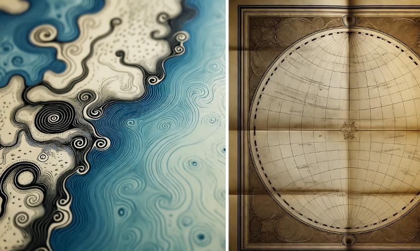
Maps are more than just tools to show us where places are. They are windows into how humans have seen the world, understood it, and even imagined it through time. From crude sketches on cave walls to detailed digital maps on our phones, the journey of world maps tells a fascinating story of discovery, culture, and science.
Ancient Beginnings: Cave Drawings and Early Maps
Long before satellites or globes, humans were curious about their surroundings. They began mapping what they knew, often using symbols and drawings. Some of the earliest maps were simple representations of rivers, mountains, and villages.
-
Babylonian Maps: Around 2300 BCE, Babylonian maps were etched on clay tablets. These maps were circular, with Babylon at the center, and depicted surrounding lands as well as mythological regions.
-
Egyptian Maps: Egyptians created maps for practical purposes, like land division along the Nile for agriculture. These were more schematic than accurate but showed an early understanding of scale.
These maps were not just tools—they reflected how people saw their world and their place in it.
Classical World Maps: Greece and Rome
The Greeks were the first to think about the Earth as a sphere. Greek philosophers like Pythagoras and Aristotle suggested that the Earth was round, which dramatically changed how maps were made.
-
Eratosthenes (276–194 BCE): He calculated the Earth’s circumference with remarkable accuracy. His ideas influenced later maps, showing that understanding geography required more than observation—it required measurement.
-
Ptolemy (100–170 CE): Ptolemy’s “Geographia” was revolutionary. He provided coordinates for thousands of places, introducing the concept of latitude and longitude. While imperfect, it laid the foundation for future mapmaking.
Roman maps, such as the Tabula Peutingeriana, were more practical, showing roads, cities, and distances across the empire. These were not meant for navigation in a modern sense but for military and administrative purposes. ️
Medieval Maps: Mysterious and Symbolic
After the fall of Rome, maps became less scientific and more symbolic. Many medieval maps centered on religion, not geography.
-
Mappa Mundi: These European maps often placed Jerusalem at the center of the world. They included biblical events, mythical creatures, and imagined lands. Accuracy was secondary to storytelling.
-
Islamic Cartography: Muslim scholars preserved and expanded Greek and Roman knowledge. Al-Idrisi, in the 12th century, created detailed maps for King Roger II of Sicily, blending knowledge from Europe, Africa, and Asia.
During this period, maps were as much about culture and belief as about physical reality.
The Age of Discovery: Mapping the Unknown
The 15th and 16th centuries were a turning point. Explorers set sail into unknown waters, and mapmakers raced to update their charts.
-
Mercator Projection (1569): Gerardus Mercator developed a cylindrical map projection that made navigation easier. Though it distorted sizes near the poles, it became invaluable for sailors.
-
Portolan Charts: These detailed nautical maps included coastlines, ports, and compass directions. Sailors relied heavily on them during the exploration of the Americas, Africa, and Asia.
This period marked a shift: maps were no longer just representations of knowledge—they became instruments of power, trade, and conquest. ⚓
Modern Maps: Accuracy and Technology
With the scientific revolution and the invention of more precise instruments, maps became more accurate.
-
Topographic Maps: These showed elevation, mountains, rivers, and valleys with contour lines, helping engineers, hikers, and planners.
-
National Mapping Projects: Countries like Britain and France began surveying their lands meticulously. The Ordnance Survey in Britain, started in 1791, is still a benchmark for accurate mapping.
-
Digital Maps: Today, Google Maps, GPS, and satellite imagery allow us to see almost anywhere on Earth in real-time. Drones and satellites have transformed maps from static images to interactive, living tools.
Table: A Quick Timeline of World Maps
| Period | Key Features | Notable Maps/Mapmakers | Purpose |
|---|---|---|---|
| Ancient | Simple drawings of rivers, villages | Babylonian clay tablets | Practical, religious |
| Classical | Spherical Earth, coordinates | Ptolemy’s Geographia | Navigation, science |
| Medieval | Religious, symbolic | Mappa Mundi | Cultural, spiritual |
| Age of Discovery | Coastal charts, Mercator projection | Portolan charts | Navigation, trade |
| Modern | Topographic, digital | Google Maps, Ordnance Survey | Accurate navigation, planning |
The Cultural Side of Maps
Maps are not just tools—they reflect worldviews. For example, medieval European maps often made Europe the center. In contrast, Chinese maps sometimes placed China at the center. This shows that maps are not purely scientific—they carry the biases and perspectives of their makers.
-
️ Learn something new: How Ancient Maps Changed the Way We See Earth
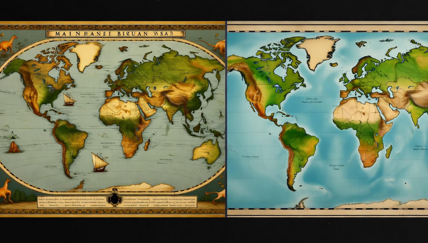
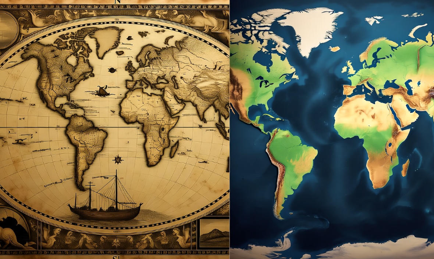
Maps as Art
Maps have also been a medium of artistic expression. Hand-drawn maps from the Renaissance are beautiful, combining geography with intricate designs, colors, and symbols. Even today, some maps are created more as art than for navigation, reminding us that maps connect imagination with reality.
Interactive and Future Maps
The future of maps is exciting. Virtual reality (VR) and augmented reality (AR) can immerse users in 3D representations of cities and landscapes. AI is helping predict traffic, climate patterns, and even archaeological sites. Tomorrow’s maps won’t just show where we are—they’ll help us understand what might happen next.
FAQs About World Maps
Q: Why did early maps often place the creator’s home at the center?
A: Early maps reflected perspective and importance. People naturally centered the world around what they knew best—often their city, country, or culture.
Q: What is the Mercator projection, and why is it controversial?
A: The Mercator projection allows straight-line navigation, which was vital for sailors. However, it distorts land sizes, making regions near the poles look larger than they really are.
Q: How accurate are modern digital maps?
A: Extremely accurate. GPS satellites can pinpoint locations within a few meters, and continuous satellite imagery ensures maps are up to date.
Q: Can maps ever be completely unbiased?
A: Not entirely. Even modern maps make choices about scale, projections, and what to include or omit. Every map reflects some perspective or purpose.
Q: How did maps influence exploration and colonization?
A: Maps were powerful tools for explorers, merchants, and empires. Accurate maps enabled safe navigation, claiming new territories, and establishing trade routes.
Conclusion
The evolution of world maps is a story of human curiosity, creativity, and understanding. From the first scratches on clay tablets to interactive digital maps, each era tells us how humans saw their world. Maps are not just practical—they are cultural, scientific, and artistic. They remind us that the world is bigger than we imagine, yet maps make it feel closer, connected, and full of possibilities.