Maps have been a part of human civilization for thousands of years. From ancient clay maps to modern digital maps on your phone, we’ve always tried to understand our world better. But today, satellites are changing the game.
The role of satellites in mapping
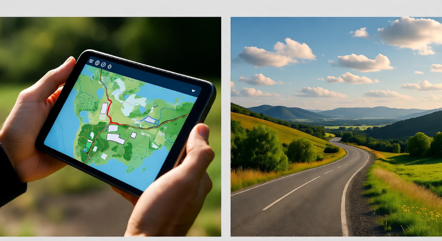
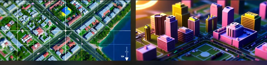
Satellites orbit the Earth and capture images from space. Unlike traditional maps, which were often drawn by hand and prone to mistakes, satellites can record exact locations. They use high-resolution cameras and sensors to detect everything from mountains to rivers, roads, and even small buildings.
This data is sent back to Earth, where computers process it. That’s how services like Google Maps or Apple Maps know almost exactly where you are. Before satellites, many maps had errors of hundreds of meters. Now, thanks to satellite technology, the accuracy can be down to just a few centimeters in some cases.
GPS and its importance
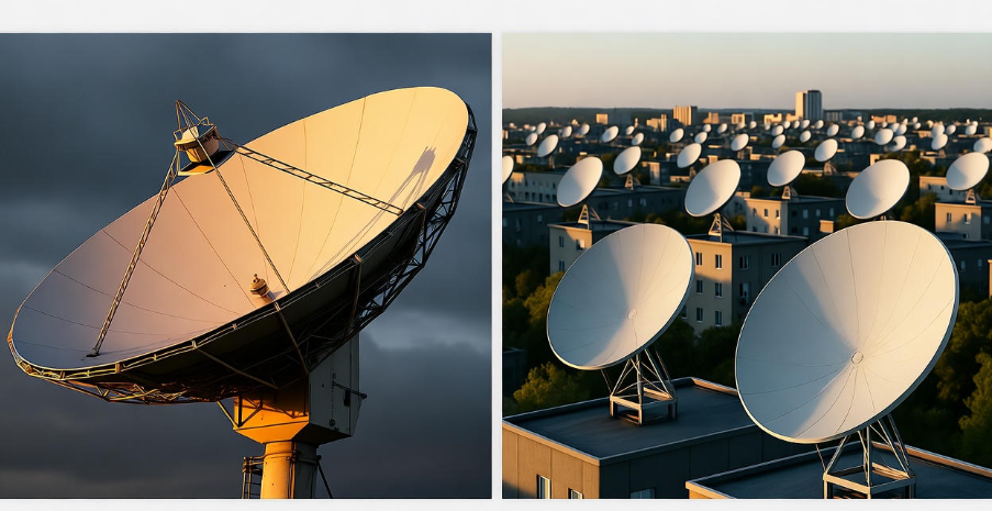
One of the biggest reasons satellite maps are so accurate is GPS — Global Positioning System. GPS satellites orbit the Earth constantly, sending signals to devices on the ground. By calculating how long the signals take to travel, your device can pinpoint your location almost perfectly.
Think about it: every time you use your phone to find a restaurant or track a run, GPS is making that possible. Without satellites, GPS wouldn’t exist, and maps would be far less reliable.
Satellite imaging techniques
Satellites don’t just take simple pictures. They use multiple techniques to gather data:
-
Optical imaging: Like a camera, it captures visible light. Great for everyday maps.
-
Radar imaging: Uses radio waves to see through clouds or at night. Useful for places with bad weather.
-
LiDAR (Light Detection and Ranging): Sends laser beams to measure distances and create 3D maps. Perfect for tracking elevation, forests, and cities.
These methods combined give us incredibly detailed maps. For example, LiDAR has been used to uncover hidden ancient cities in jungles where satellites alone wouldn’t see them. ️
Updating maps in real time
One of the most amazing things satellites do is help update maps constantly. Cities change, roads are built, rivers shift, and natural disasters can reshape landscapes. Satellites capture these changes quickly.
For instance, after a hurricane, satellites can help rescue teams by showing which areas are flooded or which roads are blocked. Without satellite images, updating maps would take weeks or months.
Accuracy in remote areas
Before satellites, mapping remote areas like deserts, mountains, or polar regions was almost impossible. Explorers had to physically visit the location. Now, satellites can map these regions without anyone setting foot there. This is essential for scientific research, climate monitoring, and even planning new infrastructure.
Combining satellite data with AI
Modern mapping doesn’t stop at satellites. Artificial intelligence (AI) analyzes satellite images to detect roads, buildings, forests, and even traffic patterns. AI can spot patterns humans might miss.
For example, a satellite image might show thousands of tiny roads in a city. AI can process all these roads and update maps automatically, making them far more accurate than ever.
Benefits of satellite-accurate maps
| Benefit | How it helps | Example |
|---|---|---|
| Navigation | Helps you find the fastest route | Google Maps rerouting during traffic |
| Disaster response | Shows affected areas quickly | Earthquake rescue teams locating blocked roads |
| Urban planning | Helps cities grow efficiently | Planning new roads or public transport |
| Environmental monitoring | Tracks forests, rivers, glaciers | Detecting deforestation or melting glaciers |
| Agriculture | Helps farmers optimize fields | Satellite images showing soil health |
Challenges satellites face
While satellites are amazing, they have challenges. Cloud cover can block optical images, satellites can be expensive to launch, and processing huge amounts of data requires strong computers. But with advancements in radar imaging and cloud-based computing, many of these challenges are being solved.
How it impacts daily life
Every time you check a map on your phone, satellites play a part. Ride-sharing apps, food delivery, hiking apps, and even weather forecasts rely on satellite data. They make life more convenient and safer.
The future of satellite mapping
In the future, we can expect even more accurate maps. Micro-satellites, flying in swarms, will capture images constantly. AI will make sense of all this data faster. We might even have fully real-time maps showing traffic, weather, and even air pollution levels instantly.
Imagine looking at a map that not only tells you where to go but also shows real-time construction, traffic jams, and available parking spots. This is already becoming possible thanks to satellites and AI combined.
FAQs
Q: How accurate are satellite maps today?
A: Some satellite maps can pinpoint locations within a few centimeters, especially when using GPS and LiDAR combined.
Q: Can satellites see through clouds?
A: Yes! Radar satellites can detect surfaces through clouds and even at night.
Q: How often are maps updated using satellites?
A: It depends on the satellite. Some provide daily updates, while others may take weeks for detailed imagery.
Q: Are satellites used for more than just mapping?
A: Absolutely! They are also used for weather forecasting, communication, military surveillance, environmental monitoring, and even disaster management.
Q: Will satellite maps replace traditional maps completely?
A: Traditional maps are still useful, but satellite maps provide more accuracy and are easier to update. Over time, most navigation and planning will rely heavily on satellites.
Conclusion
Satellites have transformed the way we create and use maps. From improving GPS navigation to helping in disaster response, they make our maps more accurate than ever. And with AI and real-time updates, we’re moving towards a future where maps aren’t just static images—they’re living, constantly evolving guides to our world.
Next time you open your phone and find the fastest route to a café or explore a new hiking trail, remember: satellites are silently guiding you every step of the way.