It’s funny how something we used to fold, carry, and sometimes argue over in the car — a simple paper map — has turned into a powerful tool that lives in our pockets. Digital maps have completely transformed the way we understand, teach, and even experience geography.
From helping farmers manage their fields to showing city planners where to build new roads, these smart maps are changing everything. But how exactly are digital maps revolutionizing geography? Let’s dive in — and you’ll see why geography today is more alive and exciting than ever before.
The Shift From Paper to Pixels
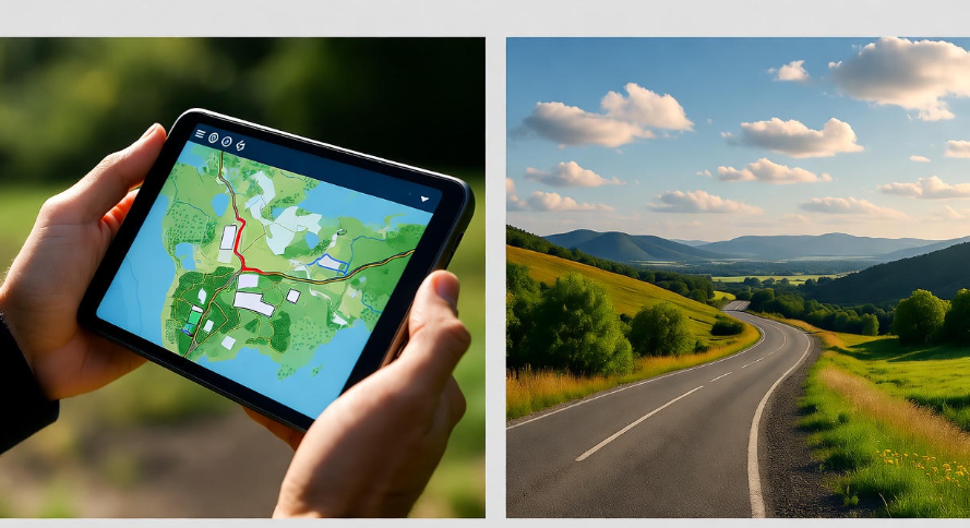
Not long ago, maps were printed on paper — beautiful but static. Once printed, they couldn’t change. If a new road was built or a border shifted, the old maps instantly became outdated.
Now, digital maps can be updated in real-time. When a new route opens or a restaurant closes, apps like Google Maps or Apple Maps update instantly. This shift from paper to pixels didn’t just make maps more convenient — it completely changed how people interact with the world.
You can zoom in, rotate, switch to satellite view, or even get a live street-level look at your surroundings. That’s something no paper map could ever do.
Real-Time Data Makes Geography Dynamic
One of the biggest revolutions in modern mapping is real-time data.
Think about it: when you check traffic on your phone and see red, yellow, or green lines — that’s digital mapping using live data from millions of users. It’s geography in motion.
This dynamic data helps:
-
Drivers avoid traffic jams
-
Emergency services find the fastest routes
-
Logistics companies track deliveries
-
Weather agencies monitor storms in real time
Geography used to be about studying fixed landscapes. Now it’s about studying movement, flow, and change — all powered by real-time digital maps.
Geographic Information Systems (GIS): The Brain Behind Digital Maps
Behind every smart map is something called GIS — short for Geographic Information Systems.
GIS combines geography, data, and technology to create maps that show patterns and relationships. For example, a GIS map can show where floods happen most often, or how a disease spreads across a city.
Here’s a quick comparison to make it clear
| Feature | Old Maps | Digital Maps (GIS-based) |
|---|---|---|
| Updates | Manual, slow | Real-time, automatic |
| Detail | Limited | Highly detailed, layered |
| Interactivity | None | Zoom, filter, analyze |
| Accessibility | Physical copies | Mobile, online, cloud |
| Accuracy | Depends on print version | GPS-precise and dynamic |
This combination of layers — like population, climate, roads, and vegetation — helps geographers, scientists, and city planners make smarter decisions.
Digital Maps in Everyday Life
It’s easy to think maps only matter to travelers or drivers, but digital maps now influence almost every part of our daily life.
Here are a few surprising examples:
-
Healthcare: Hospitals use digital maps to track disease outbreaks. During COVID-19, maps helped governments visualize infection rates and plan responses.
-
Agriculture: Farmers use satellite-based maps to check soil health, rainfall, and crop patterns. They can even decide when to plant or harvest based on data.
-
Business: Companies use digital maps to analyze customer locations, plan new stores, or deliver goods faster.
-
Education: Teachers now use interactive maps to show students migration patterns, historical routes, and natural features in ways that make learning more engaging.
-
Environment: Digital mapping helps track deforestation, pollution, and wildlife movements.
So yes — digital maps aren’t just for finding your way home anymore. They’re shaping the way the entire world operates.
Satellite Technology: Seeing the World from Above
Every time you open Google Earth and zoom into your street, you’re seeing the world through satellite eyes. ️
Satellites collect millions of images of Earth every day. These are processed into maps that reveal changes in forests, urban areas, ice caps, and even coral reefs. Scientists can track environmental changes faster than ever before.
For instance:
-
NASA uses satellite maps to study climate change.
-
Conservationists monitor illegal logging in real-time.
-
Meteorologists use them to predict hurricanes and monitor floods.
This satellite-based mapping is like having a living, breathing snapshot of our planet — constantly updated and endlessly detailed.
Location Intelligence: Turning Data Into Decisions
Digital maps are more than just tools to show where things are — they’re tools to understand why things happen where they do.
Location intelligence combines maps with analytics. Imagine you run a food delivery business. With digital mapping, you can:
-
See which neighborhoods order the most
-
Track delivery times
-
Optimize routes for efficiency
-
Find the best place to open a new kitchen
That’s the power of location-based insights. They turn simple geographic data into smart business decisions.
Even social media platforms use this technology — when you tag your location in a post, that’s a tiny part of the same mapping revolution.
Digital Maps and Disaster Management
One of the most powerful uses of digital maps is in disaster response.
During floods, earthquakes, or wildfires, authorities use real-time maps to identify affected areas and plan evacuations. For example:
-
Drones can capture live footage of damaged areas
-
Digital maps can overlay satellite images with road closures
-
Rescue teams can coordinate based on GPS positions
This level of coordination wasn’t possible 20 years ago. Now, geography literally helps save lives.
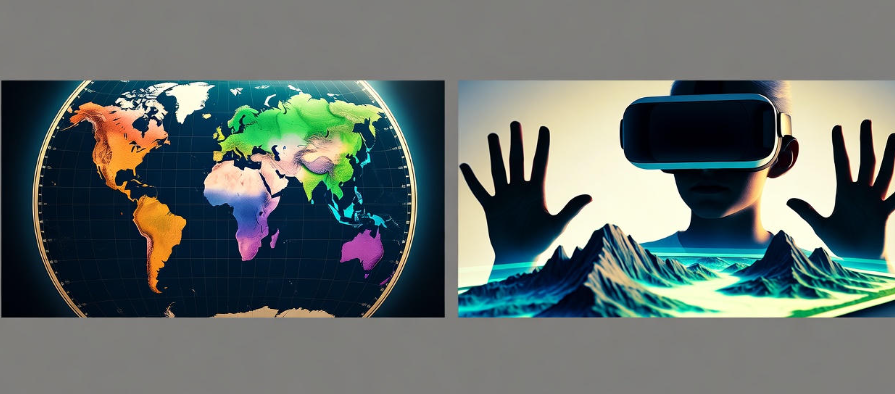
Augmented Reality (AR) and the Future of Maps
If you’ve ever used your phone’s camera to follow blue arrows on Google Maps, you’ve already experienced AR mapping.
Augmented Reality overlays digital information onto the real world. In the future, you might not even look at your phone — smart glasses could show you turn-by-turn directions right in front of your eyes.
Tourists could point their phone at a building and instantly see its history, photos, and reviews. Students could walk through virtual landscapes during geography lessons.
It’s geography — but with a futuristic twist.
Privacy and Ethical Challenges
Of course, not everything about digital mapping is perfect.
These maps collect vast amounts of data — including location histories. This raises serious privacy questions. Who owns this data? How is it stored? Who can access it?
There are also ethical issues around satellite surveillance and how governments use mapping data. Balancing innovation with privacy protection will be one of the biggest challenges in the next decade.
Digital Maps in Developing Countries
Interestingly, digital mapping has had one of its biggest impacts in developing countries.
In regions where paper maps were outdated or missing, digital maps have opened new opportunities. For example:
-
In Africa, volunteers use OpenStreetMap to map rural areas for emergency aid and vaccination campaigns.
-
Farmers use mobile mapping apps to locate water sources and track rainfall.
-
Governments use them for better urban planning.
For many communities, digital mapping isn’t just a convenience — it’s empowerment.
How Digital Maps Are Changing Education
Teachers once relied on flat maps or globes to explain the world. Now, students can take virtual tours around volcanoes, explore space, or follow explorers’ routes using tools like Google Earth and ArcGIS StoryMaps.
This shift has made geography far more interactive and personal. Instead of memorizing places, students now experience them.
The Future of Digital Mapping
The future looks even more exciting. With artificial intelligence, drones, and advanced sensors, digital maps will become more precise and predictive.
Some experts believe maps will soon:
-
Predict traffic before it happens
-
Show real-time pollution levels
-
Help design climate-resilient cities
-
Use AI to simulate environmental changes
So the next time you open a map on your phone, remember — you’re not just looking at a route. You’re holding centuries of human exploration and modern technology in your hand.
-
️ Related read: How Climate Zones Affect Human Life
Quick Look: Major Benefits of Digital Maps
| Category | Benefit |
|---|---|
| Navigation | Real-time routes, traffic updates |
| Environment | Track deforestation, pollution, weather |
| Business | Market analysis, delivery optimization |
| Education | Interactive learning tools |
| Safety | Disaster tracking, emergency response |
| Agriculture | Crop management, soil mapping |
FAQs
Q1. How do digital maps differ from traditional maps?
Digital maps are interactive, dynamic, and update in real-time. Traditional maps are static and can’t change once printed.
Q2. What is GIS and why is it important?
GIS (Geographic Information Systems) allows users to layer and analyze geographic data. It’s used in urban planning, disaster management, and even environmental conservation.
Q3. Are digital maps always accurate?
They’re highly accurate but can still have small errors. Accuracy depends on GPS signals, satellite data, and user input.
Q4. How do digital maps help in education?
They make learning geography interactive. Students can explore real locations, study global patterns, and understand spatial relationships better.
Q5. What’s the future of digital mapping?
AI, AR, and drone-based mapping will make maps even more detailed and predictive — offering smarter navigation, environmental tracking, and immersive experiences.
Final Thoughts
Digital maps have completely redefined what geography means. They’re not just tools for travelers anymore — they’re the foundation for smarter cities, safer communities, and better global understanding.
What began as simple lines on paper has evolved into a living, breathing digital ecosystem that connects people, places, and possibilities.
The revolution isn’t coming — it’s already here, one map at a time. ️✨